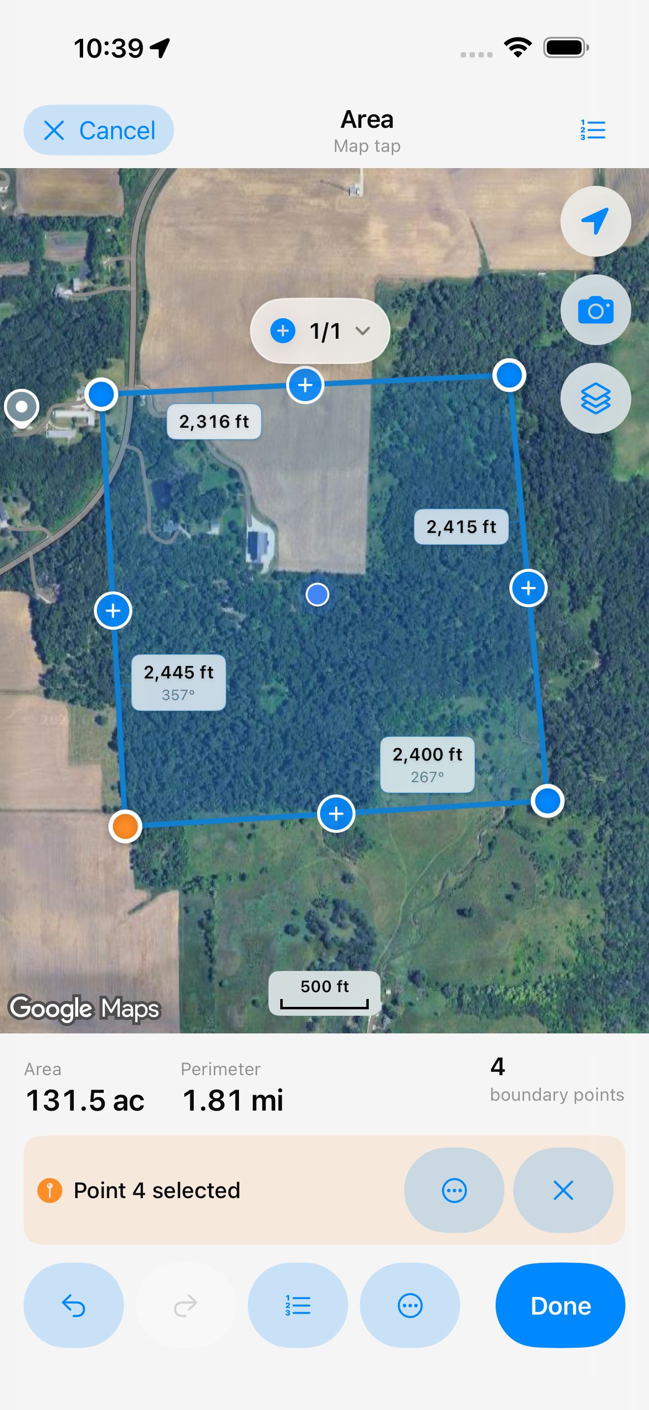
Five ways to measure
Tap corners on the map, place points under a crosshair, walk the boundary, stand at each corner, or record a route.

Measure land with your phone.
Area, distance, and perimeter — on the map or on foot.


In the app stores: Dipper: GPS Area Measure
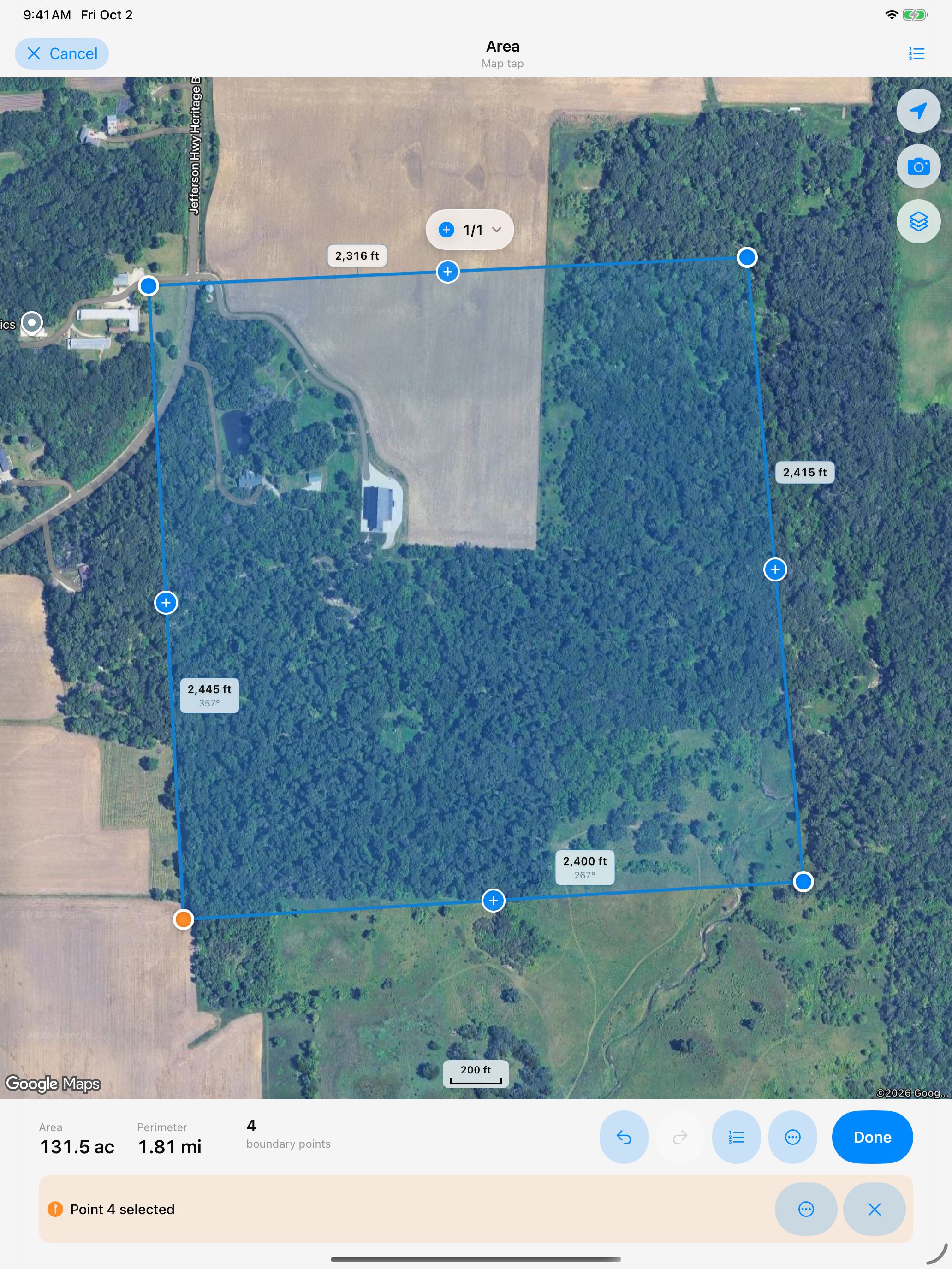
Dipper Area Measure is a free app for iPhone, iPad, and Android that measures land area, distance, and perimeter. Trace the edges of a field on a map, or walk it with your phone's GPS. No ads or account needed. Measurement projects stay on your device.
Tap corners on the map, place points under a crosshair, walk the boundary, stand at each corner, or record a route.
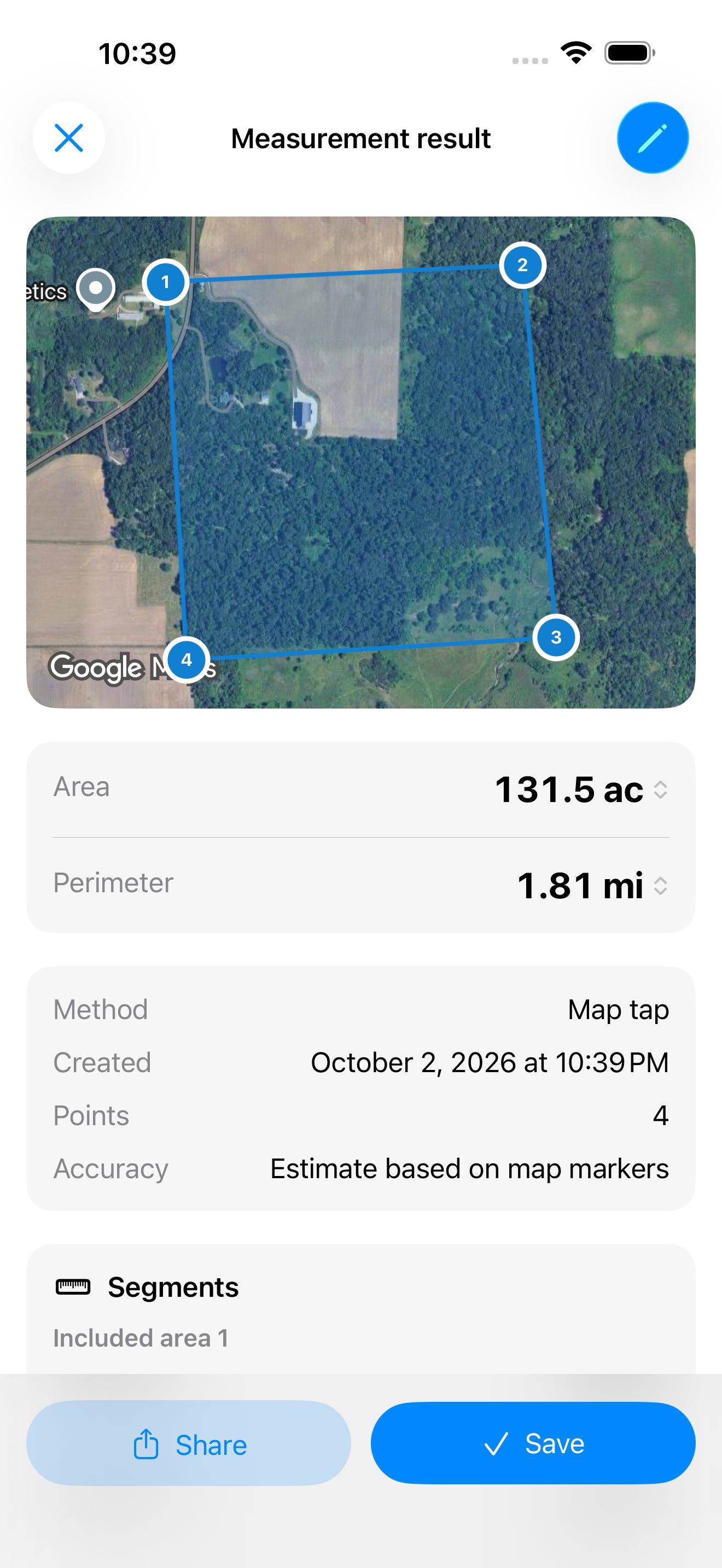
See the reported position quality as you measure. It is an estimate to help you judge a result, not a guarantee of the land area.
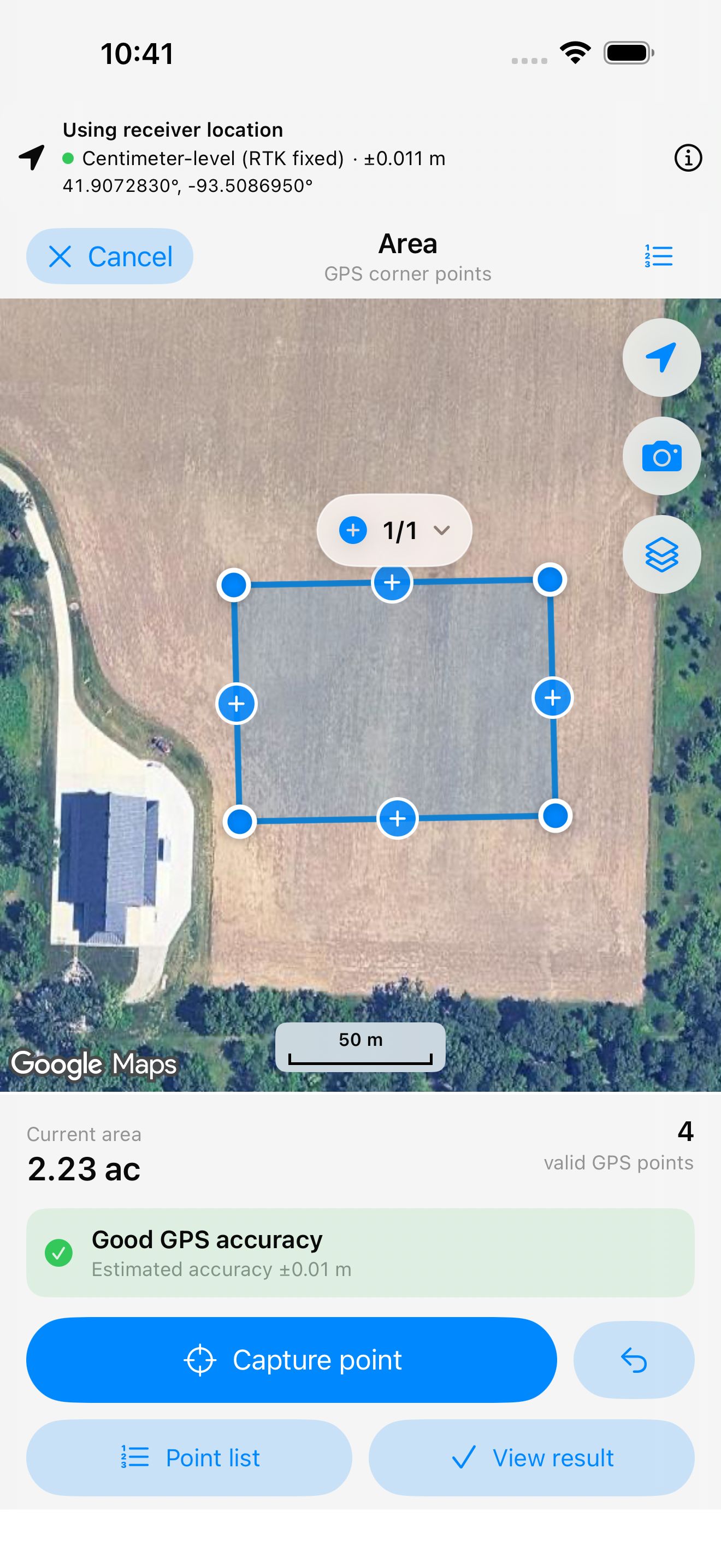
Use a compatible RTK receiver and correction service to record more precise points on the ground. Connect by Bluetooth or Wi-Fi in the app.*
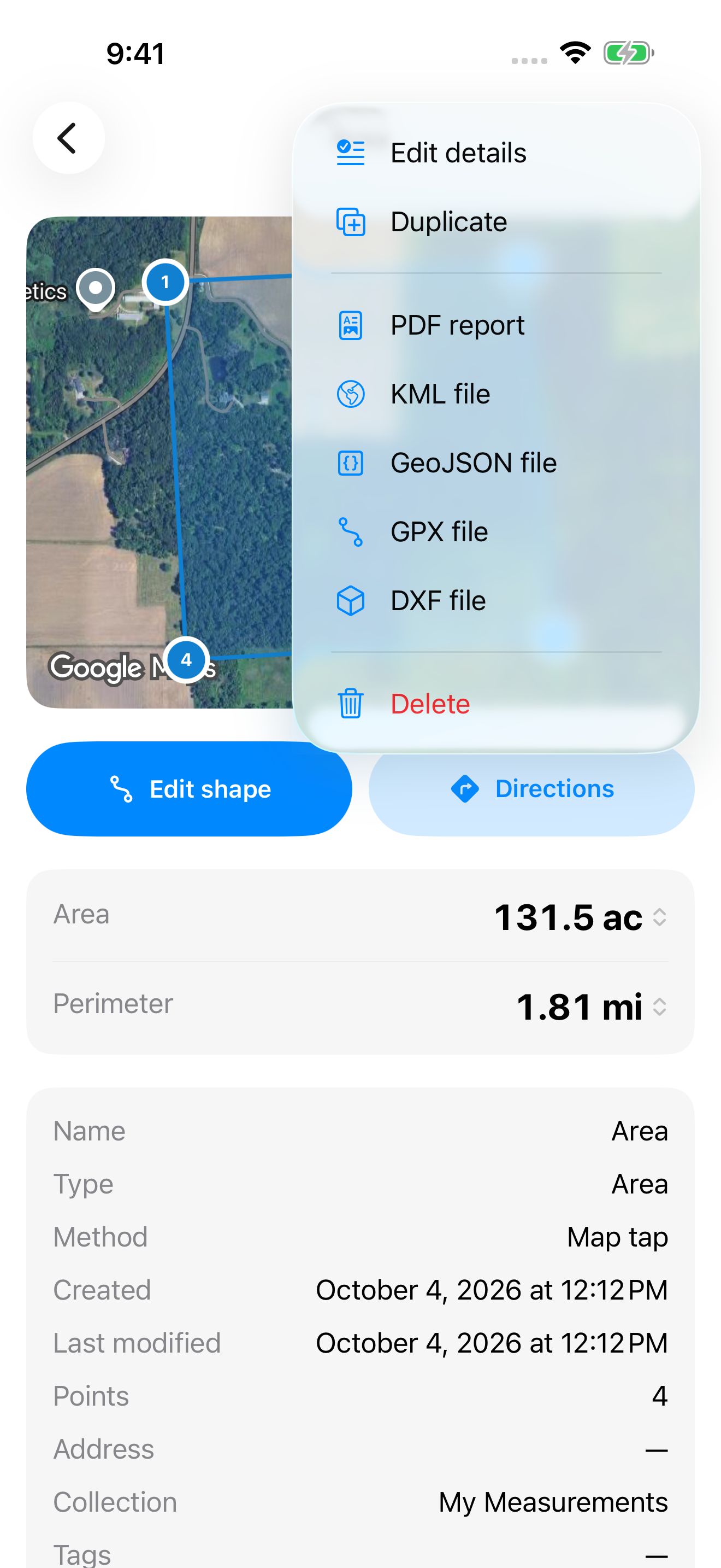
Share a PDF report, or export your measurement for mapping and design software. Supported formats include DXF, KML, GeoJSON, and GPX.
* Centimeter-level positioning requires a compatible RTK receiver, a correction service, an internet connection, and open sky. Results depend on the equipment and conditions. Phone GPS is typically accurate to a few meters; map tracing depends on the imagery and where you place points.
RTK improves the positions captured from a receiver. It does not make satellite imagery or points traced by hand more accurate.
Last updated:
| Platform | Status |
|---|---|
| iPhone and iPad | Available on the App Store |
| Android | Available on Google Play |
Guides, help, and release notes are on the Area Measure website ›
Support: measure_support@insightspatiallabs.com
InsightSpatial apps and devices are for measuring, layout, and record-keeping. They do not replace a licensed land surveyor and should not be used to establish legal property lines.