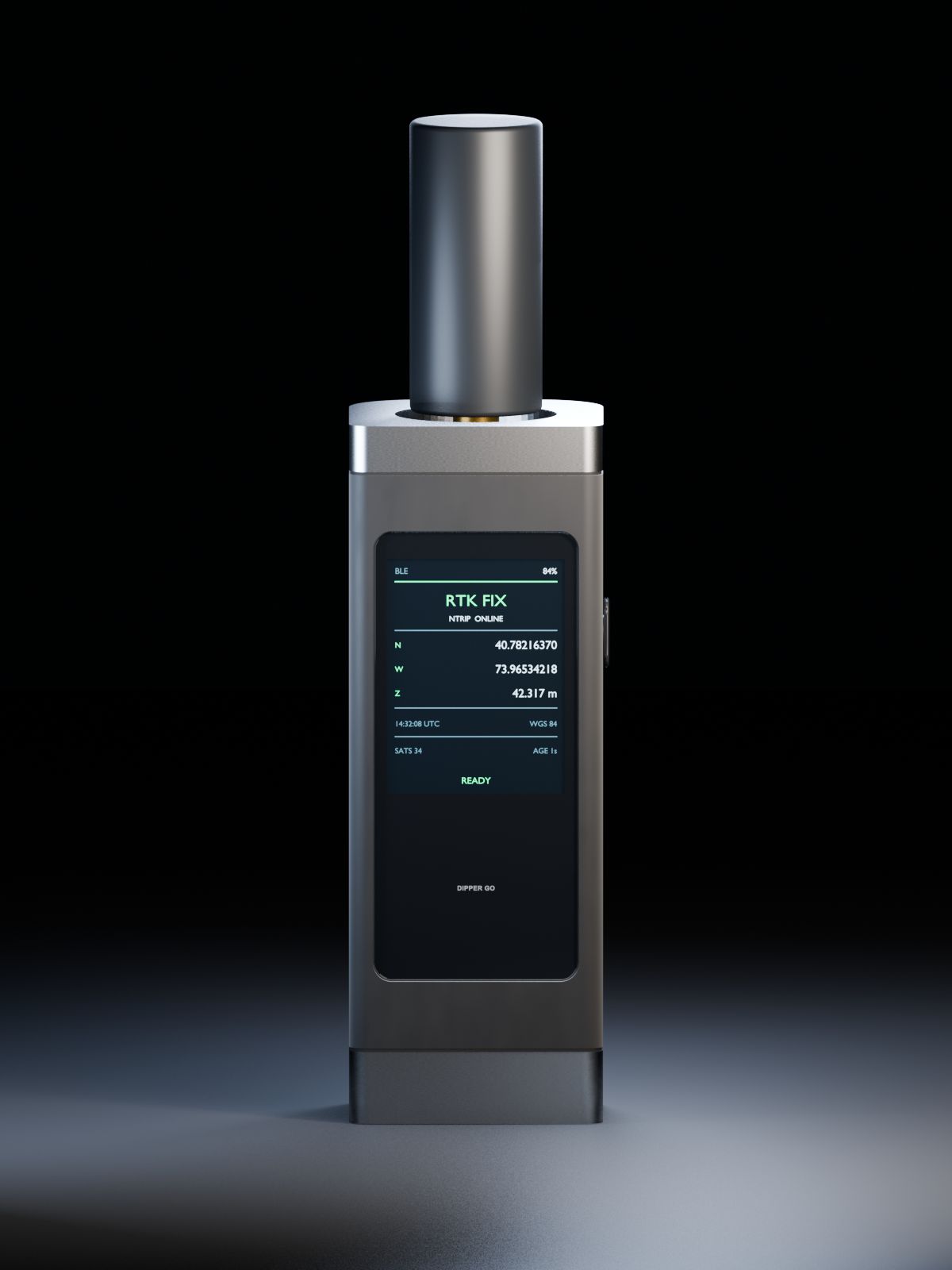
Hardware In development
Dipper Go
Our first RTK receiver. It gives your phone precise positions for mapping, layout, and field data. Planned for the first half of 2027.
The first of our location and sensing hardware for the field.
Meet Dipper Go ›

InsightSpatial builds positioning hardware, software, and mobile apps that capture where things are, and custom GIS that turns it into everyday decisions. From a single job site to an entire organization.
Hardware, apps, and services that work together, or on their own.
Hardware In development
Our first RTK receiver. It gives your phone precise positions for mapping, layout, and field data. Planned for the first half of 2027.
The first of our location and sensing hardware for the field.
Meet Dipper Go ›
Apps
Mobile apps by InsightSpatial for measuring land, collecting field data, and laying out points.
All our apps are free.
See all apps ›RTK service Planned
A subscription that sends centimeter-level corrections to your receiver over the internet.*
Already have an NTRIP account? You can use it today.
Learn about RTK ›Services US
Asset management, data pipelines and workflow automation, decision-support models, and dashboards, on ArcGIS or open source.
For organizations in the United States.
Explore our services ›Measure land with your phone.
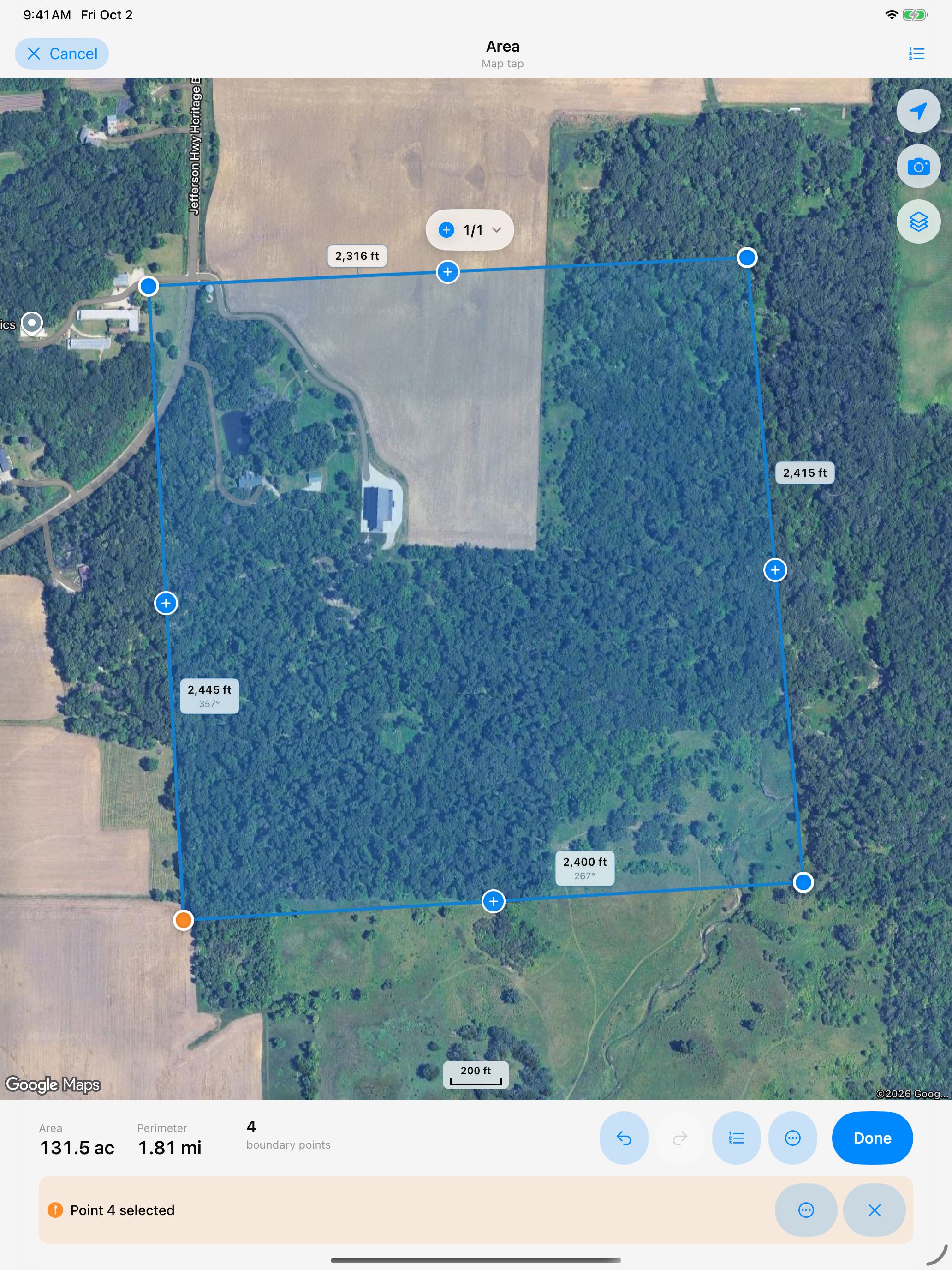
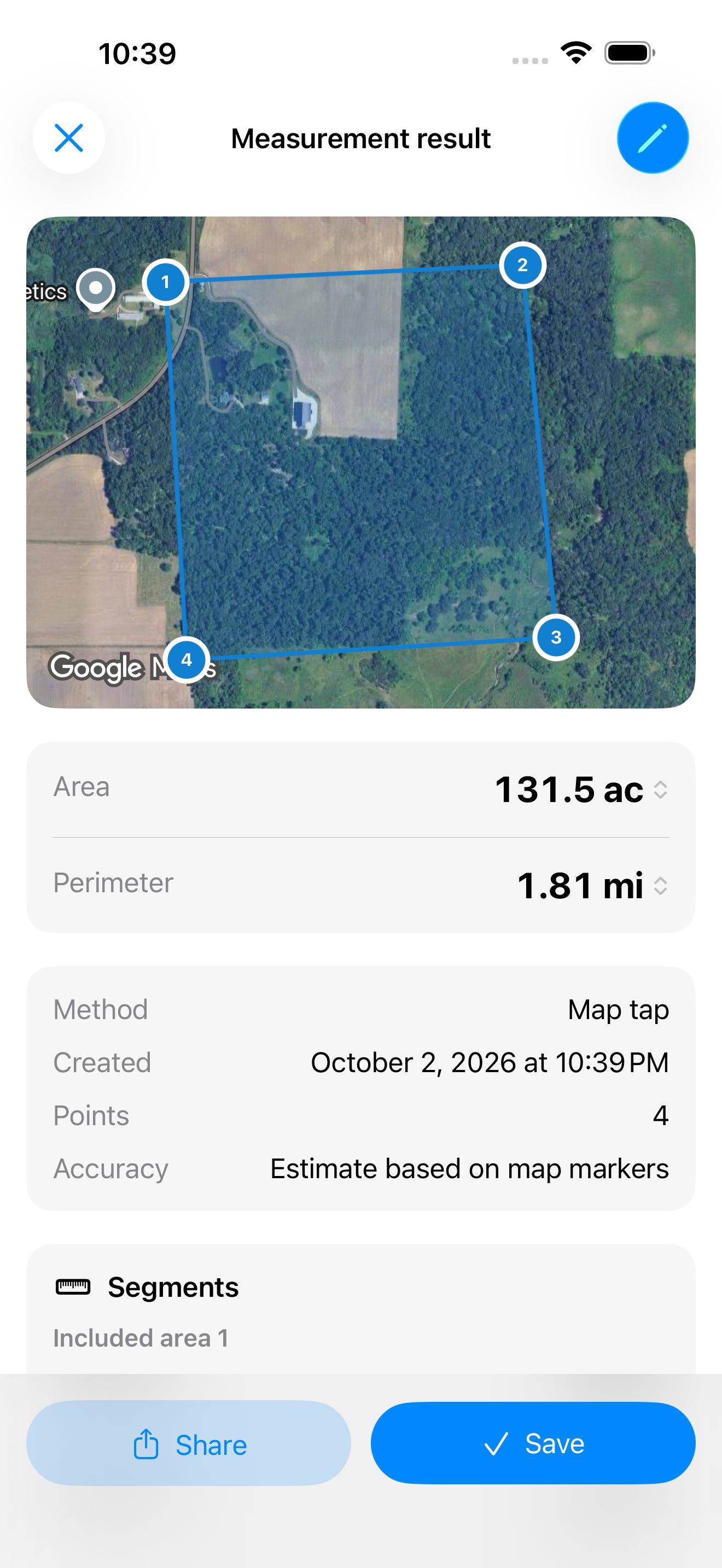
See how much land you have, how long a fence might be, or how large an area you need to cover. Trace a map or measure on foot.


Centimeter precision.* Made simple.
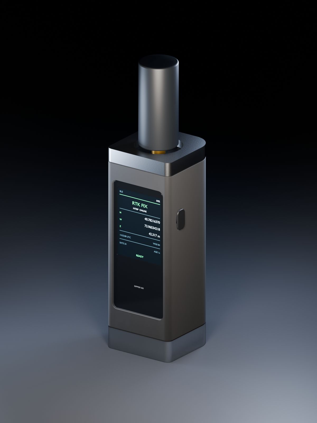
A handheld RTK GPS receiver that gives your phone precise positions for mapping, layout, field data collection, and land measurement. Free Dipper apps and your choice of compatible correction service, free or paid.* Planned for the first half of 2027.
* Centimeter-level positioning requires a compatible RTK receiver, a correction service, an internet connection, and open sky. Results depend on the equipment and conditions. Phone GPS is typically accurate to a few meters; map tracing depends on the imagery and where you place points. Compare setups
This device has not been authorized as required by the rules of the Federal Communications Commission. This device is not, and may not be, offered for sale or lease, or sold or leased, until authorization is obtained.
Two more free apps are in development.
Keep locations, photos, forms, and inspection notes together. Share a report when the job is done.
Preview Dipper Field ›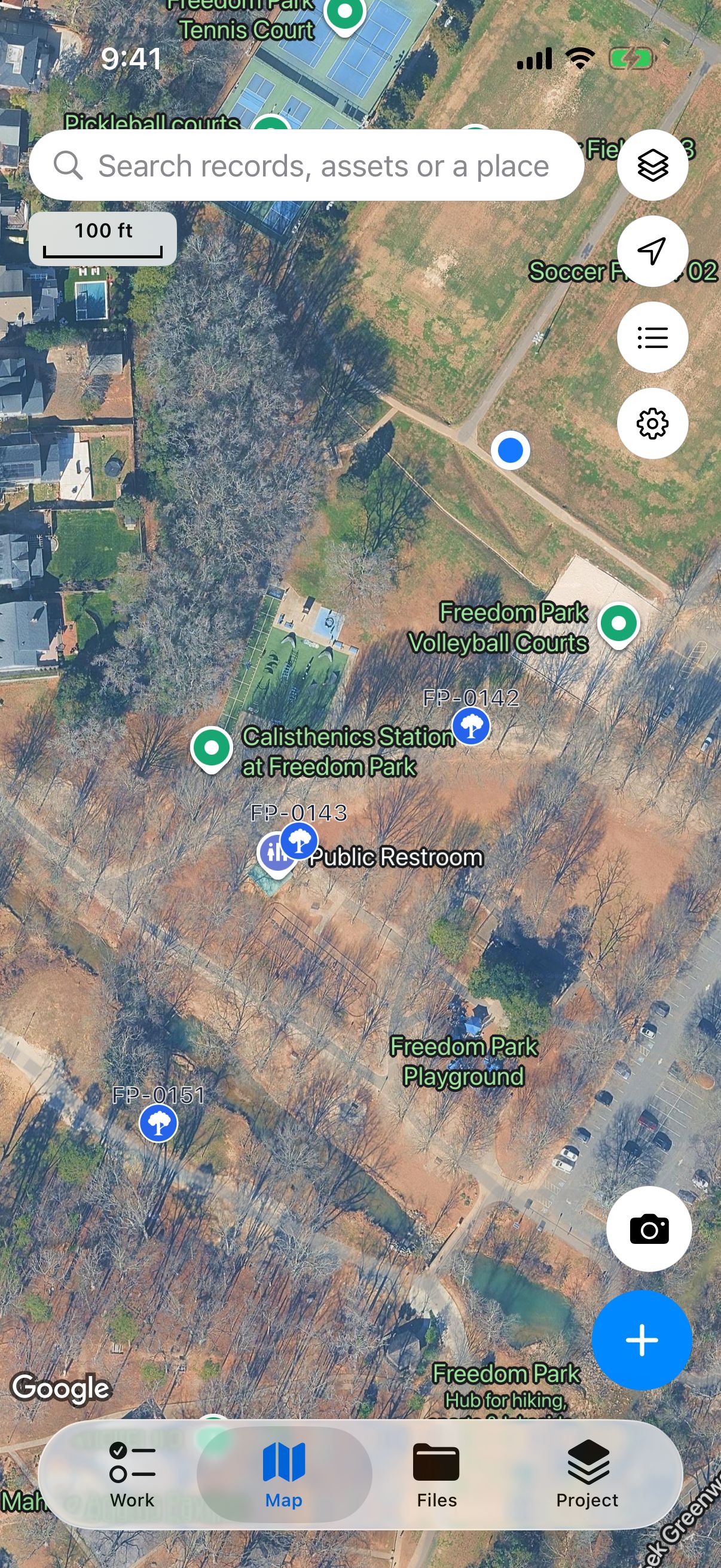
Take planned points into the field and find where to mark them. Designed for use with a compatible RTK receiver.
Preview Dipper Layout ›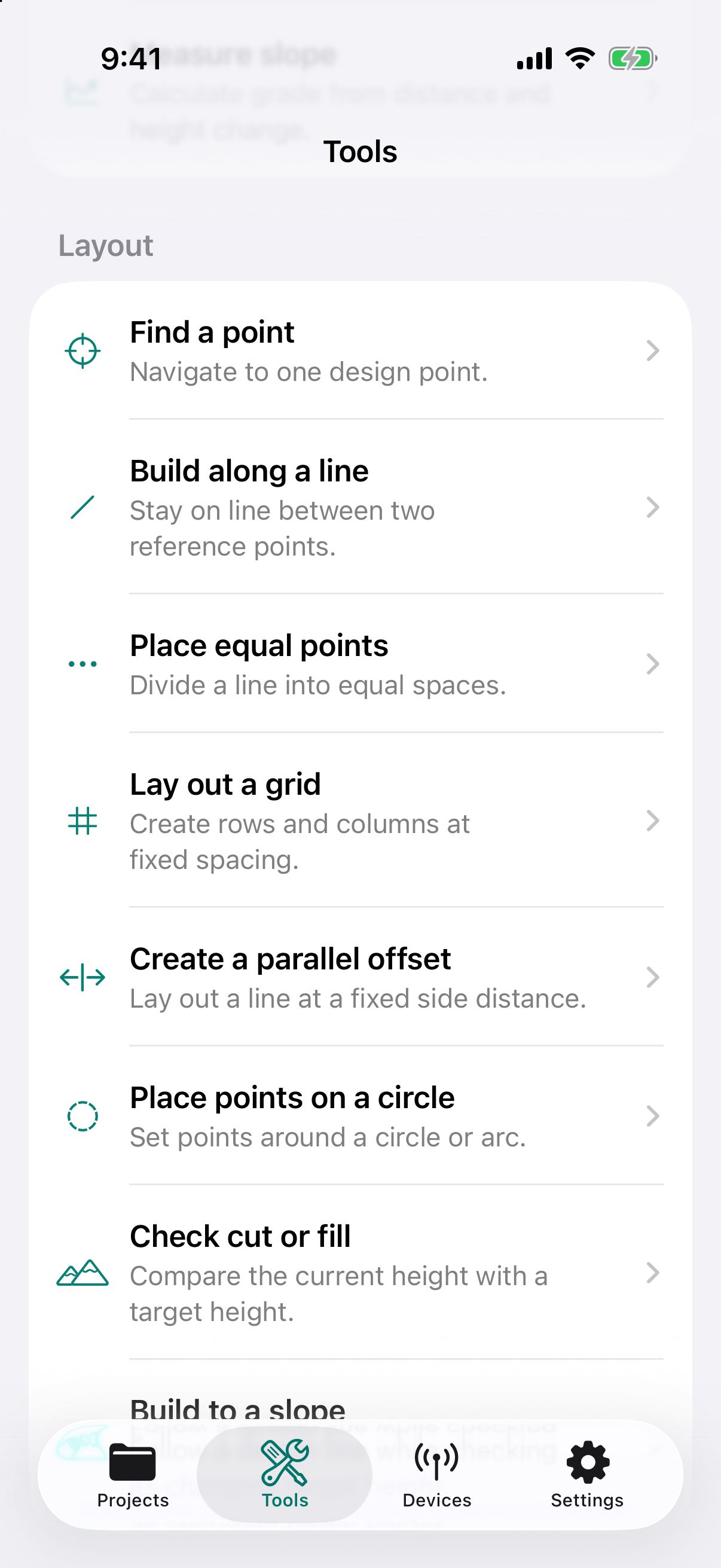
* Centimeter-level positioning requires a compatible RTK receiver, a correction service, an internet connection, and open sky. Results depend on the equipment and conditions. Phone GPS is typically accurate to a few meters; map tracing depends on the imagery and where you place points.
Asset management, data pipelines, decision-support models, and dashboards, built for organizations in the United States.
Explore our services ›Check file formats, device compatibility, and purchasing information for your lab or team.
Information for teams ›Tap the corners on a map or walk the boundary. How accurate each method is, and when a phone is not enough.
Updated 2026-10-15A few meters or a few centimeters? What common jobs really need, and what RTK costs.
Updated 2026-10-15Base stations, casters, mountpoints, fixed and float, explained without the jargon.
Updated 2026-10-15Convert feet, meters, acres, square feet, hectares, cubic yards, and more, including chains and rods from old deeds.
Free toolSee your current latitude and longitude and US county, convert between decimal degrees, degrees-minutes-seconds, and UTM, and measure between two points.
Free toolCubic yards and bags of concrete for slabs, footings, and post holes.
Not necessarily. Your phone is enough to estimate land area and record approximate locations. For more precise positions, use a compatible RTK receiver and correction service. Dipper Go is in development.
Phone GPS is typically accurate to a few meters in open sky. A compatible RTK receiver with a correction service and internet can provide centimeter-level positions in suitable conditions. Tracing a map depends on the imagery and where you place points.
No. Our products are for measuring, layout, and record-keeping, and do not replace a licensed land surveyor.